


The real estate market has become incredibly visual, and buyers now expect more than basic listing photos. They want to understand how a home sits on the property, what surrounds it, and whether the neighborhood actually matches the lifestyle they imagine.
That is why real estate photography with drones has gone from a luxury marketing feature to a serious competitive advantage for agents and photographers across the United States.
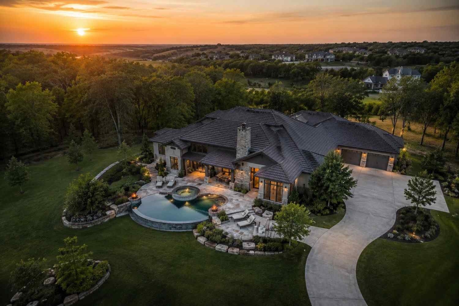
I started noticing the impact almost immediately during listing shoots. Homes that looked average in standard photos suddenly appeared far more impressive once aerial images were added. Backyards felt larger, waterfront views became clearer, and the entire property looked more complete online.
In a market where attention spans are short and competition is intense, strong aerial visuals help listings create a faster and more memorable first impression.
Why Aerial Property Images Capture Attention Faster
One thing I noticed early is that buyers want context before they schedule a showing. They do not just want to see the kitchen or living room anymore. They want to understand the entire property layout and surrounding environment.
Aerial visuals instantly provide that bigger picture.
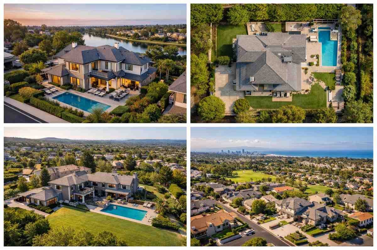
Drone imagery can reveal lot size, nearby parks, waterfront access, landscaping, roof condition, neighborhood spacing, school proximity, and outdoor entertainment areas in a single frame. Traditional photography simply cannot provide that perspective.
This becomes especially important for suburban homes, vacation rentals, ranch properties, commercial buildings, and waterfront listings where the surrounding land adds significant value.
I have also seen aerial footage increase engagement on social media listings because cinematic property videos create a stronger emotional connection with buyers.
FAA Rules Every Drone Photographer Must Follow
One of the biggest mistakes beginners make is ignoring aviation regulations. In the United States, commercial drone operations are regulated by the Federal Aviation Administration.
If you are flying for business purposes, you generally need an FAA Part 107 Remote Pilot Certificate. This applies to photographers, real estate marketers, and content creators who are being compensated for aerial work.
Drone registration is also required for commercial aircraft weighing more than 249 grams. Pilots must register through the FAA DroneZone platform before operating commercially.
Modern FAA rules also require Remote ID compliance, meaning drones must broadcast identification and location telemetry during flight operations.
Before every property shoot, I always check airspace restrictions using the B4UFLY app and secure LAANC (Low Altitude Authorization and Notification Capability) authorization whenever operating near controlled airspace or airports.
These safety steps protect both the pilot and the client while helping avoid expensive legal issues.
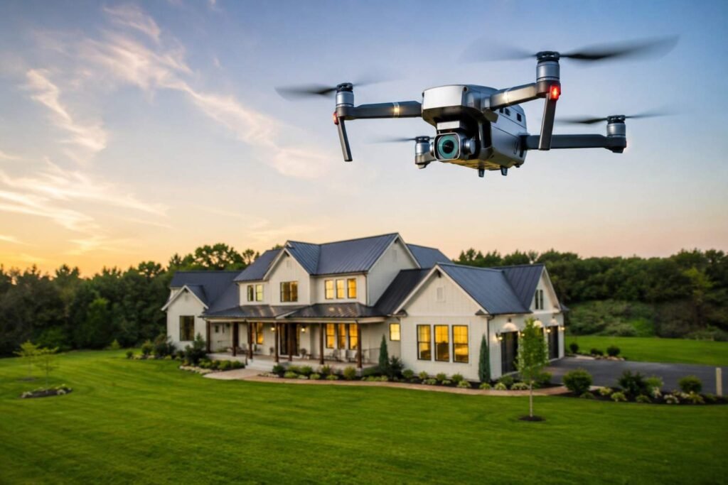
The Best Drones for Property Marketing in 2026
Technology has improved dramatically over the last few years, and today’s drones produce stunning cinematic footage even for smaller agencies and solo photographers.
The premium option many professionals rely on is the DJI Mavic 3 Pro because of its triple-camera system, strong low-light performance, and impressive image quality.
For photographers who want excellent value without spending at the highest level, the DJI Air 3 and DJI Air 2S continue to perform extremely well for aerial property work.
Portable drones have also become surprisingly capable. The DJI Mini 4 Pro and DJI Mini 5 Pro offer obstacle sensing, vertical shooting support, and lightweight portability that works especially well for social media content creation.
Battery life matters more than many photographers expect. I always carry multiple batteries because lighting changes quickly during property shoots.
Camera Settings That Make Homes Look Cinematic
Owning expensive equipment does not automatically create professional results. Camera settings and lighting decisions make a much bigger difference.
I usually shoot during golden hour because softer sunlight creates cleaner shadows and warmer highlights around the property. Midday sunlight often produces harsh contrast and less flattering images.
One of my favorite techniques is using Auto Exposure Bracketing, also called AEB mode. This captures multiple exposure levels that can later be merged into HDR images during post-processing. It helps preserve sky details while maintaining visibility in darker areas around the home.
I also keep ISO levels low whenever possible to reduce digital noise and preserve sharper architectural detail.
Shooting in RAW format gives far more editing flexibility and helps maintain consistent color tones across the full gallery.
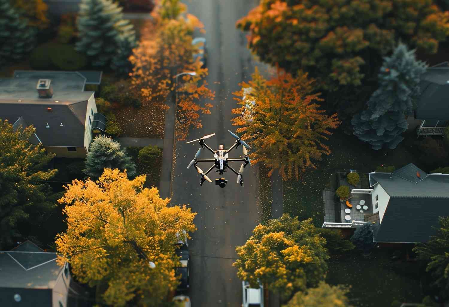
Drone Video Techniques That Create More Buyer Interest
Smooth cinematic movement makes a property feel more immersive and premium.
One of the most effective shots I use is the establishing shot. This is a slow aerial approach toward the home that reveals the neighborhood and overall setting.
The mid-range 360 maneuver is another favorite because it circles the property and showcases lot boundaries, landscaping, and surrounding features. A drone with a multiple camera setup makes these transitions feel even more cinematic because I can quickly switch perspectives without interrupting the shot sequence.
For homes with pools, patios, or large backyards, I often use top-down travel shots that trace the roofline and outdoor layout from directly above. These overhead angles help buyers understand the scale and flow of the property much faster than traditional ground photos.
These techniques help buyers emotionally connect with the property before they even schedule a visit.
This is where real estate drone photography creates a major advantage over standard listing galleries.
Why Buyers Trust Listings With Aerial Media
Online buyers make decisions quickly. In many cases, the first five images determine whether someone clicks deeper into a listing or moves on.
Aerial visuals immediately make a property feel more complete and professionally marketed. They also create stronger transparency because buyers can clearly see neighboring homes, nearby roads, outdoor features, and property boundaries.
That extra context increases buyer confidence.
I have personally seen ordinary suburban homes look dramatically more attractive once aerial imagery was added to the listing presentation.
Common Mistakes That Hurt Property Visuals
One mistake I frequently notice is flying too high. Extremely high-altitude shots often disconnect buyers emotionally from the home itself.
Another issue is excessive editing. Unrealistic blue skies, oversaturated grass, and artificial HDR effects can quickly make listings feel misleading.
Weather conditions also matter heavily. Windy conditions can soften footage and reduce stability, while poor lighting can flatten architectural details.
I always recommend focusing on realism rather than aggressive visual effects.
Frequently Asked Questions (FAQs)
1. Do I need a license for commercial drone property shoots?
Yes. In the United States, commercial drone operations generally require an FAA Part 107 Remote Pilot Certificate.
2. What is the best time to shoot aerial property photos?
Golden hour shortly after sunrise or before sunset usually creates the most flattering lighting conditions.
3. Are drone photos worth it for smaller homes?
Yes. Even smaller homes benefit from neighborhood context, curb appeal, and surrounding property visuals.
4. What resolution should aerial property photos be?
Most professionals shoot high-resolution RAW images to maximize editing flexibility and listing quality.
5. Can drone footage help real estate listings sell faster?
Many MLS studies and industry surveys suggest professionally captured aerial visuals improve engagement and listing performance.
The Future of Aerial Real Estate Marketing
As online competition grows across the housing industry, visual presentation becomes more important every year.
Buyers expect cinematic media now. They want immersive property experiences before ever contacting an agent.
That demand continues pushing aerial photography into the mainstream real estate workflow. Many professionals are now combining drone footage with traditional real estate photography tips to create more complete and emotionally engaging property presentations.
For photographers, brokers, and marketing agencies, learning these skills now can create a major long-term advantage.
And from everything I have seen across the industry, real estate drone photography is no longer viewed as an optional luxury feature. It has become one of the strongest tools available for modern property marketing.


